
SWS Academic Research eLibraryEarth & Planetary Sciences

Browse

Search Results

Now showing 1 - 3 of 3

Year: 2021Subject: NDVIAccess: metadata onlyclear all
Showing 1-3 of 3 records
1
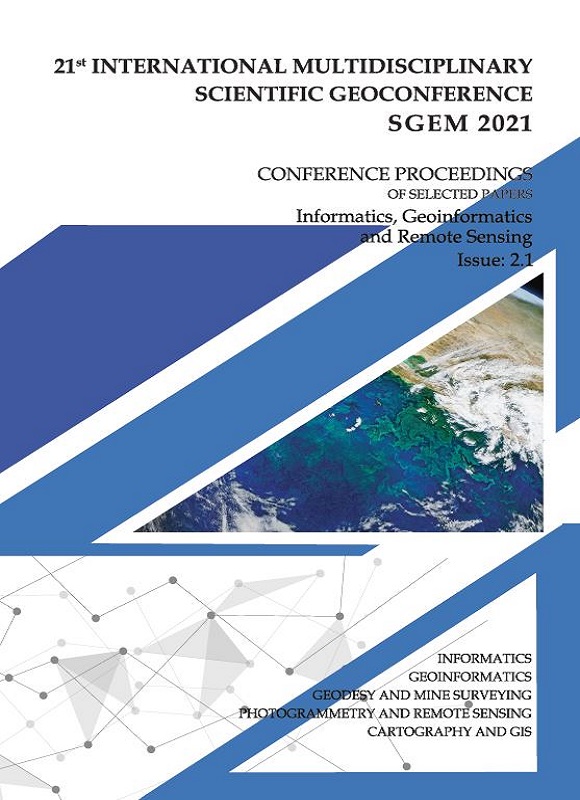
SGEM International Multidisciplinary Scientific GeoConference EXPO Proceedings; 21st SGEM International Multidisciplinary Scientific GeoConference Proceedings 2021, Informatics, Geoinformatics and Remote Sensing
Publication

COMPARISON OF USING UNMANNED AERIAL VEHICLE AND SATELLITE MONITORING TO ASSESS THE CONDITION OF WINTER WHEAT STAND THROUGH NDVI VEGETATION INDEX

(STEF92 Technology, 2021-12-20, Eibl, Jakub, Lukas, Vojtech, Mezera, Jiri, Sirucek, Peter, Kintl, Antonin)

Show more

The presented paper deals with the issue of assessing the condition of winter wheat (Triticum aestivum L.) stand during its development in the spring period. The field experiment was established in 2020; two plots sized 25 ha and 16 ha were selected with a model plant of winter wheat. In the spring period (BBCH 35 and BBCH 51), both plots were monitored using an unmanned aerial vehicle (UAV) and Sentinel 2 satellites. After the end of the monitoring, spectral analysis of pictures taken was made and a basic NDVI ve...

Photogrammetry and Remote Sensing2021
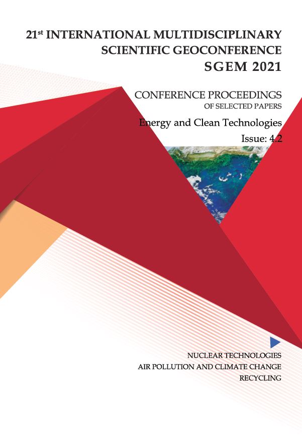
SGEM International Multidisciplinary Scientific GeoConference EXPO Proceedings; 21st SGEM International Multidisciplinary Scientific GeoConference Proceedings 2021, Energy and Clean Technologies
Publication

STUDYING THE LST-NDVI RELATIONSHIP FOR THE WARMEST DAY FOR THE PERIOD 2013-2016: A CASE STUDY FOR THE IASI CITY

(STEF92 Technology, 2021-12-20, Gherasim, Paul, Mihai, Dima, Ioana, Agapie (Mereuta), Cornel, Dudau)

Show more

In this paper was used correlations between LST-NDVI, for warmest day, for 2013-2016.Study area, Iasi, is geographically situated on latitude 47 degrees 12 min N to 47 degrees06 min N and longitude 27 degrees 32 min E to 27 degrees 40 min E. The largest city ineastern Romania is Ia?i and the seat of Ia?i county. Land surface temperature, calculatedfrom remote sensing data is used in a lot of fields of science, like: climate change,hydrology, forestry, urban planning, oceanography, agriculture etc. In earlier therm...

Air Pollution and Climate Change2021
SGEM International Multidisciplinary Scientific GeoConference EXPO Proceedings; 21st SGEM International Multidisciplinary Scientific GeoConference Proceedings 2021, Informatics, Geoinformatics and Remote Sensing
Publication

METHODOLOGY FOR STUDYING THE SPATIAL HETEROGENEITY OF THE PHYTOSANITARY STATE OF AGROBIOCENOSES BY REMOTE SENSING

(STEF92 Technology, 2021-12-20, Shpanev, Alexander, Smuk, Vasily)

Show more

The study of spatial heterogeneity of phytosanitary state of seeding and agricultural crops plantings is necessary for the widespread introduction of the precision farming system, which would make it possible to achieve a significant reduction in the pesticide load on agrocenoses and the environment. In Russia, the methodology for studying the heterogeneity of the phytosanitary state of agrocenoses is developed on the experimental base of the Menkovsky branch of the Agrophysical Research Institute. For this purpos...

Cartography and GIS2021
Showing 1-3 of 3 records
1

Connected events

SGEM WORLD SCIENCE Conferences

The EPS Library connects published research with the scientific events where it was presented, reviewed and prepared for long-term scholarly discovery.

International Scientific GeoConference SGEM
SGEM GeoConference

International Scientific GeoConference SGEM

Explore the main SGEM WORLD SCIENCE forum for Earth and Planetary Sciences, where research becomes conference presentation, proceedings publication and long-term library visibility.

Visit sgem.org
SGEM Vienna Green
SGEM Vienna Green

Green Sciences and Sustainability

Explore SGEM Vienna Green — connecting sustainability, environmental science, climate research, green technologies and interdisciplinary solutions for the future.

Visit sgemviennagreen.org

International Indexing & Global Visibility of Our Scientific Publications

SGEM scientific publications gain international visibility through a broad network of scholarly indexing and abstracting databases, citation-tracking services, research discovery platforms, and academic repositories.

Depending on the platform, our publications may be accessible as indexed bibliographic records, abstracts, citation data, DOI-linked metadata, or full-text scientific papers. Coverage and availability vary across platforms and publication years.

Scopus

Scopus Scientific Database

Compendex

Engineering abstracts
& indexing

Clarivate Databases

Scientific Databases

EBSCO

EBSCO
Science Services Database

OpenAIRE

Linked research discovery
& metadata

ProQuest

Scientific Databases
Part of Clarivate

Ulrichsweb

Global serials directory
Part of Clarivate

Crossref

We are a voting CrossRef member - the official DOI provider

Dimensions

Research discovery, citations
& metadata

ScienceOpen

Research discovery
& metadata

HAL

Multidisciplinary archive
& metadata

Petroleum Abstracts

Scientific Database
Part of Clarivate

Google Scholar

Google Scholar
Scholarly Search

Scilit

Scientific literature discovery
& metadata

RSCI

Russian Science Citation Index
Part of Web of Science

OpenAlex

Open research index
& metadata

Mendeley

Scientific Databases
Part of Elsevier

GeoRef

GeoRef — AGI
Geoscience Bibliographic Database